


Sean C. Morgan
Sweet Home was officially placed on a scenic byway last week.
The Oregon Tourism Commission approved the scenic byway on Thursday, and the Oregon Transportation Commission did the same on Friday.
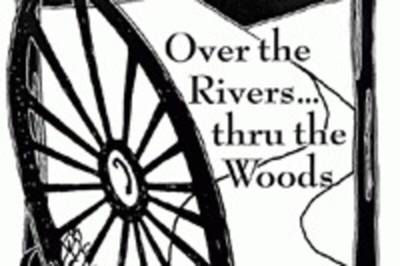
The scenic byway, “Over the Rivers — Through the Woods,” begins on Highway 228 at Interstate Five extending to Highway 20 east to the junction of Highway 20 and Highway 226. The route is some 66 miles long.
Sweet Home Economic Development’s Economic Development Coordinator Karen Owen and U.S. Forest Service Sweet Home Ranger District’s Public Affairs Officer Joanne West appeared before the Tourism Commission to explain the proposal. City Manager Craig Martin and Brownsville City Administrator David Clyne attended the Transportation Commission meeting.
The approval comes about three years after West started looking into the idea.
“We’re now an official scenic byway, but we have a lot of work to do,” West said. Right now, persons involved with the project need to put together information for the Tourism Commission’s spring brochure and finish developing a logo.
After that, the interpretive plan must be completed. Forest Service Recreation Specialist Brian McGinley will work with the Brownsville and Sweet Home communities to plan the entire route.
During the process of developing the proposal, a “bare bones” plan was created, West said. Now it will be fleshed out in more detail.
Eventually, the byway committee will begin seeking grants to develop the interpretive plan, which will most likely begin with an information kiosk at Brownsville and at the east end of the byway along with Shea Point.
The byway will have a sort of “rough-hewn” log design on National Forest land, like Longbow Campground or even Sankey Park. In cities, it will likely continue with the same look but less rustic, West said.
“I just think one of the neat things about the byway is it connects I-5 to the Central Oregon scenic byways,” West said. “We’re just really excited about it, and I think the communities are really excited about it. I think it’s a really exciting idea. My biggest concern is people might expect too much too fast.”
Plans for the byway will take some time, and it will be 2005 before the byway can get going with grant funds. Still, the route will be highlighted in state and national publications. Beyond that, travel magazines often highlight scenic routes. The byway will also be able to capitalize on Brownsville’s status as the third-oldest city in Oregon.
The route is an advertising opportunity, Owen said. Potential articles plus brochure information “are things we couldn’t buy. We couldn’t afford to buy that kind of exposure.”
Right now, Sweet Home gets “a lot of travel through it” to a destination, Owen said. With the new designation travelers will drive “through just for the sake of traveling through,” and they will be more leisurely about it.
As they do that, they will see the Brownsville and Sweet Home communities, Owen said. Right now, many travelers take highways 22 or 58 to cross the mountains, “and we’re not getting the exposure we want to get.”
Getting travelers through the area can make a difference in economic development, Owen said. “Even when a company executive makes a decision to move to a community … more often they’ll probably choose a community they’re familiar with or had a good experience with.”
Ultimately, it will increase traffic through the area and bring different people than come here now, “people that like to travel slowly through and enjoy the trip,” Owen said. “I think there’s some real opportunities here. This is a very satisfying thing to do. It’s just one more little thing.”
The scenic byway designation will not include any land use restrictions except one, West said. Off-site signs are prohibited along the route, although existing signs will be grandfathered.
Copies of the overall “corridor management plan” are available by contacting West.
For further information or to get involved in the byway project, persons may contact West at 367-2096, Owen at 367-6186 or Martin at 367-8969.